
Most Recent
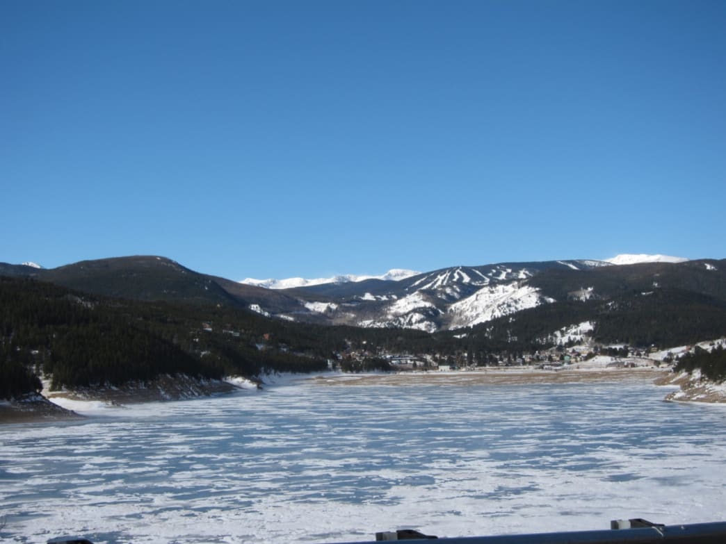
Your Hotel For Eldora Ski Resort Intro Eldora’s location near the mountain town of Nederland means that Denver and Boulder skiers can access it without battling the traffic on I-70—a huge plus on powder days! As a smaller operation, Eldora is very family-friendly, with plenty of programs for kids and beginners but there’s also a […]
Let Us Serve As Your Ski Lodge in Boulder With These Great Tours Jackson Hole has Teton Pass. Salt Lake City has Little Cottonwood Canyon. Bozeman has Bridger Bowl, and Bend has Tumalo Mountain. Boulder, Colorado, has, well, nothing analogous that caters to ravenous dawn patrollers, those of us who like to fit in a […]
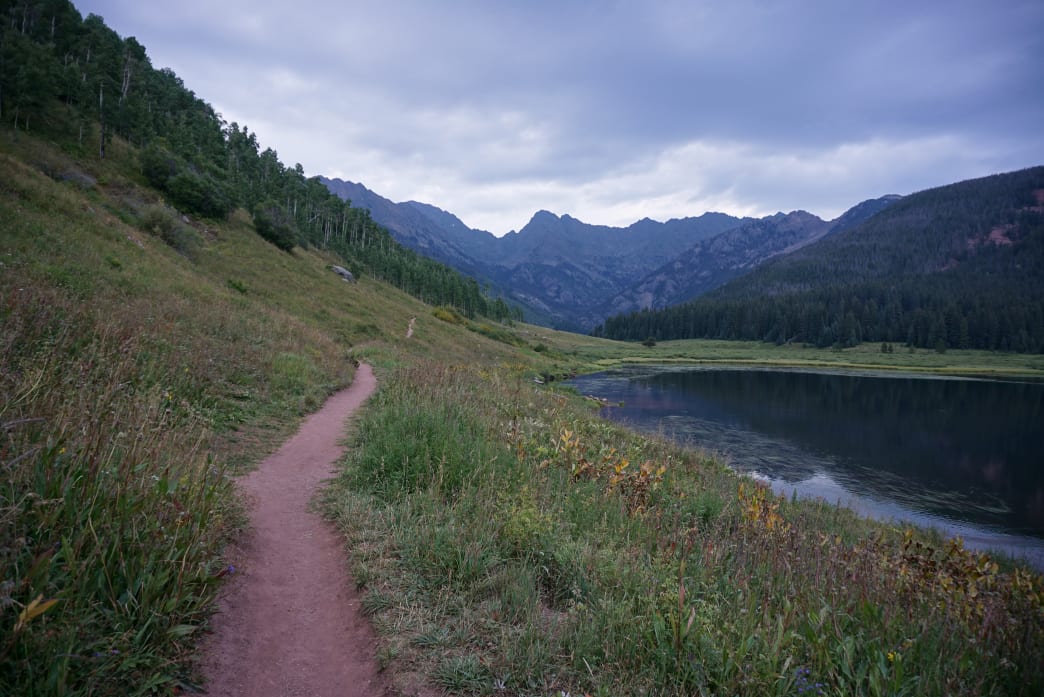
Winter in Vail is unforgettable, but a visit to the hills around this quintessential resort town in the heart of Colorado’s Gore Range during the warmer months is pure magic. Hiking options abound throughout the hills surrounding Vail, but it’s the high alpine lakes hidden in the upper reaches of the Gore that make for […]
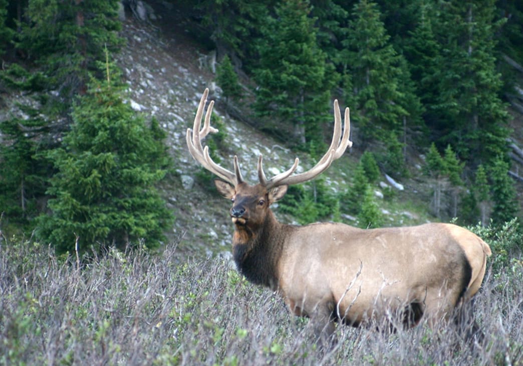
Get away from any trailhead in Colorado and the noise of everyday life disappears. Wind whispers through stands of pine trees and aspen leaves chatter like unruly children. But in the fall, things get a little louder. Rocky Mountain elk, some of the largest land mammals in North America, are feeling frisky. Fall is the […]
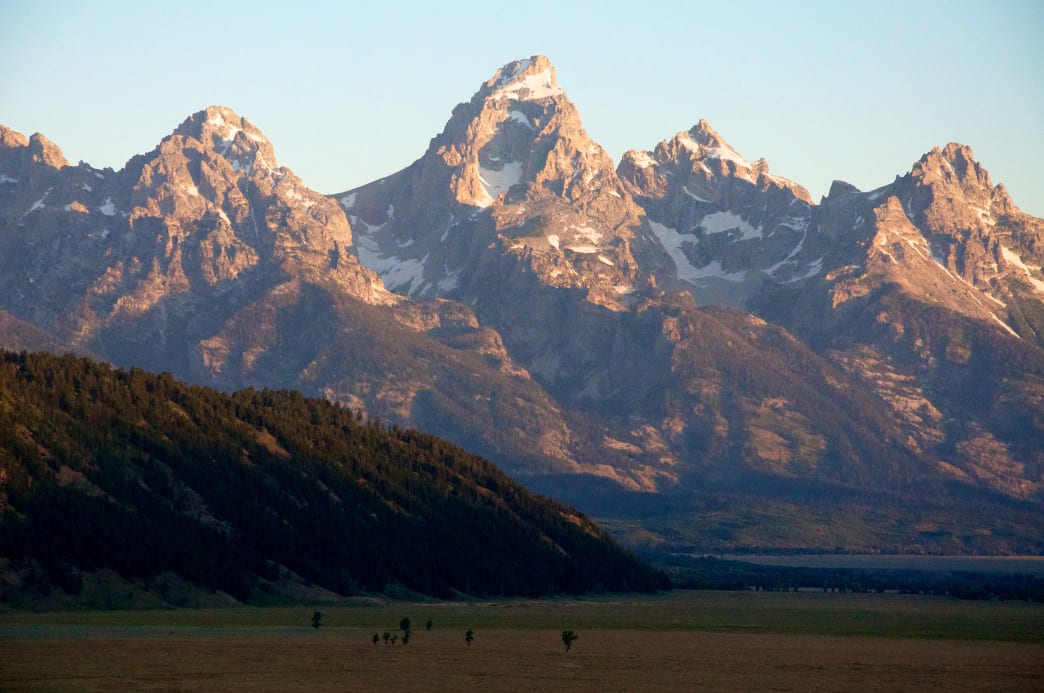
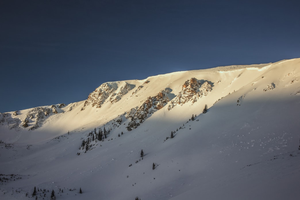
Size isn’t everything in a mountain. Neither is topographic prominence, or isolation, or vertical rise, or geologic age, or symmetry, or wildness. The best mountains, of course, are those that get lodged in your heart so that you feel them even when you’re far away, and lodged in your subconscious so that you dream about […]
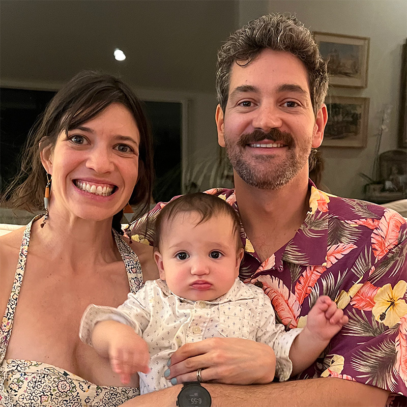
Asa Firestone was born with an entrepreneurial spirit and has cultivated hospitality expertise in the picturesque landscapes of Lyons and Boulder, Colorado. As the co-owner of the A Lodge, his journey epitomizes dedication, innovation, and a deep-rooted commitment to community.
Asa’s journey began with a profound appreciation for travel and exploration. His early experiences staying in lodges around the world ignited a passion for creating memorable experiences for others. Armed with this passion and a keen business acumen, he embarked on a mission to redefine hospitality in his own backyard.
In 2008, Asa’s vision came to fruition with the establishment of the A Lodge in Boulder, Colorado. Nestled amidst the majestic Rocky Mountains, this Boulder hotel quickly garnered acclaim for its blend of rustic charm and modern comfort. Under Asa’s guidance, the A Lodge became more than just a place to stay; it became a destination where guests could immerse themselves in the unparalleled beauty of Colorado while experiencing genuine hospitality.
However, Asa’s ambitions didn’t stop there. Recognizing the growing demand for unique accommodations in Boulder, he expanded his footprint by acquiring and revitalizing a second property in the heart of Lyons. This expansion not only solidified Asa’s reputation as a visionary entrepreneur but also furthered his mission of providing exceptional hospitality experiences to a broader audience.
Beyond his role as a hospitality magnate, Asa Firestone is deeply invested in the communities he serves. Whether through supporting local initiatives, fostering sustainable practices, or championing the arts, he remains dedicated to making a positive impact at both the local and global levels.
Asa’s leadership exemplifies a harmonious blend of passion, innovation, and compassion. His unwavering commitment to excellence continues to set the standard for hospitality in Lyons, Boulder, and beyond. As guests continue to flock to the A Lodge, they are not only welcomed into a warm and inviting space but also into the visionary world of Asa Firestone.